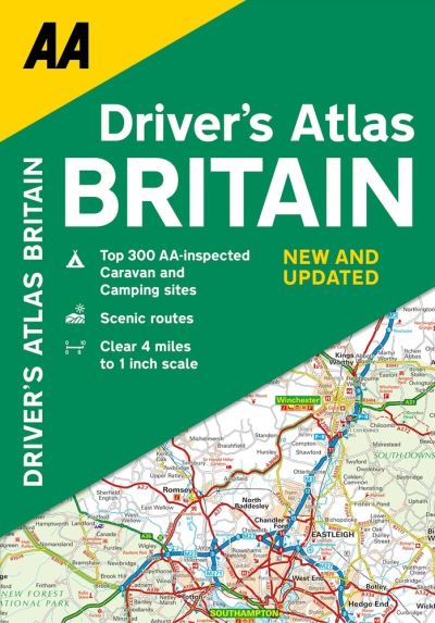
Drivers Atlas Britain

AA, Publishing

£9.99

A handy, flexibound glovebox sized road atlas, in an A5 format. Each page has been titled with its geographical location so you can turn to the page you need more easily. There is also a full-colour, admin map showing all the latest unitary authority areas, easy-to-use mileage chart and clear easy-to-read index with more than 23,000 place names.

Available on backorder

Publish Date: 27/05/2021
ISBN: 9780749582654 Category:

Description

A handy, flexibound glovebox-sized road atlas, in an A5 format. Each page has been titled with its geographical location so you can turn to the page you need more easily. There is also a full-color admin map showing all the latest unitary authority areas, easy-to-use mileage chart and clear easy-to-read index with more than 23,000 place names including airports, top tourist sites, and motorway services listed. Wide minor roads (more than and less than 4m wide), National Trust, English and World Heritage sites, crematorium locations and other hard-to-find places are also shown.

Additional information

Weight 503 g
Dimensions 210 × 146 × 18 mm
Author

Publisher

Imprint

Cover

Paperback

Pages

328

Language

English

Edition

Nineteenth edition

Dewey
Readership

General – Trade / Code: K