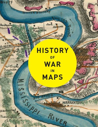
Description
From the moment towns and cities arose, the struggle for land, resources and power has turned to violence. Almost from the start, maps have been an essential part of planning and waging war. History of War in Maps gives a unique visual representation of the development of warfare and the maps that have helped shaped our history.
Each map in this beautifully designed volume plays a crucial role. While countless campaign strategies have relied on detailed and accurate mapping, entire wars have been fought over the maps themselves, with hopes of redrawing boundaries and redefining nations. Spanning more than 2,000 years, this book expertly curates more than 70 historical maps which tell the fascinating story of war: from ancient and medieval warfare to modern-day global conflicts.
Featuring maps of historic battles such as:
Battle of Marathon, 490 BC
Battle of Hastings, 1066
Battle of Crecy, 1346
Battle of Lützen (Thirty Years’ War), 1632
Battle of Saratoga, 1777
Battle of Austerlitz, 1805
Battle of Balaklava (Crimean War), 1854
Siege of Vicksburg, 1863
Battle of Isandhlwana (Anglo-Zulu War), 1879
Battle of Spion Kop (Anglo-Boer War), 1900
Gallipoli campaign, 1915
D-Day, 1944
Operation Desert Storm, 1993