Description
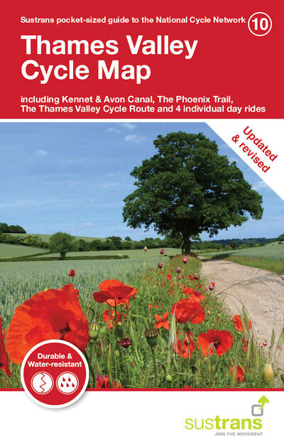
This is in the series of pocket sized, folded maps to the National Cycle Network which include clearly mapped on-road and traffic-free paths, easy to read contours and detailed town insets. The series is published by Sustrans. 1:110,000 scale; folded 155mm x 99mm; flat 792mm x 630mm.There are some really great National Cycle Routes in the Thames Valley. From cycling along the banks of the Kennet & Avon Canal and the River Thames to marvelling at the sculptures along the Phoenix Trail – a disused railway crossing the border from Buckinghamshire to Oxfordshire. Most of the traffic-free cycle routes in the Thames Valley are flat and family friendly, however if you want to challenge yourself a little more wind your way through the Chiltern Hills on the many quiet country lanes.This revised edition of the Thames Valley Cycle Map includes the Kennet & Avon Canal, the Phoenix Trail, the Thames Valley Cycle route and 4 individual day rides. It is now printed on waterproof paper.


