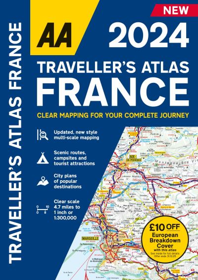
Traveller atlas France 2024

AA, Publishing, AA

£16.99

‘Traveller’s Atlas France’ is an A4 format road atlas of France providing multi-scale mapping, France main mapping scale at 4.7 miles to 1 inch. Coverage includes 28 city centre plans including Paris, Lille and Lyon, to help you find your way in and around busy centres. 16 pages of overview mapping of Europe. Road mapping includes 6 transit maps for Brest, Strasbourg, Marseille, Paris, Nice, Monaco and Nimes, Avignon, Orange.

Available on backorder

Publish Date: 11/05/2023
ISBN: 9780749583415 Category:

Description

The AA Traveller’s Atlas France is a brand new A4 format road atlas of France providing multi-scale mapping, France main mapping scale at 4.7 miles to 1 inch. New for 2024, this specialist easy-to-read A4 road atlas is designed for the British motorist in France. Coverage includes 28 city centre plans including Paris, Lille and Lyon, to help you find your way in and around busy centres. 16 pages of overview mapping of Europe. Road mapping includes 6 transit maps for Brest, Strasbourg, Marseille, Paris, Nice, Monaco and Nimes, Avignon, Orange. Includes £10 off AA European Breakdown cover promotion.

Additional information

Weight 964 g
Dimensions 295 × 210 × 17 mm
Author

Publisher

Imprint

Cover

Paperback

Pages

1 atlas (336 )

Language

English

Edition
Dewey

912.44 (edition:23)

Readership

/ Code: